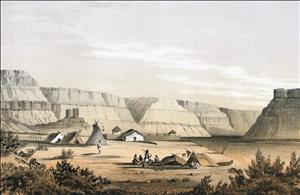
On April 25, 1854, the Washington Territorial Legislature forms Walla Walla County out of Skamania County. The county seat is set "on the claim of Lloyd Brooks," at what will become the city of Walla Walla. The county encompasses the area north of the Columbia and east of the mouth of the Deschutes River, including parts of the future states of Idaho and Montana -- 450 miles by 200 miles.
By 1861, the population of Walla Walla County was two-thirds larger than was the population west of the mountains. Mining discoveries led to the construction of roads and bridges and new counties were formed out of Walla Walla. Congress organized Idaho Territory in 1863, setting the eastern boundary of Washington Territory.
Sources:
George W. Fuller, A History of the Pacific Northwest (New York: Alfred A. Knopf, 1948), 211-212, 299.
Licensing: This essay is licensed under a Creative Commons license that
encourages reproduction with attribution. Credit should be given to both
HistoryLink.org and to the author, and sources must be included with any
reproduction. Click the icon for more info. Please note that this
Creative Commons license applies to text only, and not to images. For
more information regarding individual photos or images, please contact
the source noted in the image credit.

Major Support for HistoryLink.org Provided
By:
The State of Washington | Patsy Bullitt Collins
| Paul G. Allen Family Foundation | Museum Of History & Industry
| 4Culture (King County Lodging Tax Revenue) | City of Seattle
| City of Bellevue | City of Tacoma | King County | The Peach
Foundation | Microsoft Corporation, Other Public and Private
Sponsors and Visitors Like You

