Pritchard Island, a small island on the southwest shore of Lake Washington, was the site of a Duwamish Indian village known as tleelh-chus ("little island") for generations before the first United States settlers arrived in the area in the 1860s. It gained the name Pritchard Island when Alfred J. Pritchard acquired it in 1900 and platted a housing development that was reached by a footbridge over the slough that separated the island from the mainland shore of the lake. The area was annexed into the City of Seattle in 1907. Ten years later, the lowering of Lake Washington due to the opening of the Lake Washington Ship Canal drained the slough, connecting the island to the mainland. Even before the lake was lowered, Pritchard, the Olmsted Brothers landscape architecture firm, and many area residents had urged the City to develop a park and beach at Pritchard Island. In the 1930s, the City acquired the land in the former slough area and developed Pritchard Island Beach with assistance from the WPA.
First People
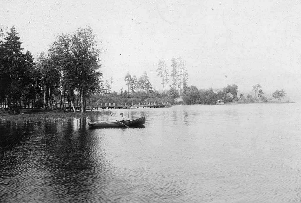
Prior to the arrival of settlers from the United States, Duwamish Indians who called themselves hah-chu-absch, or "lake people," fished the lake, and hunted game and harvested vegetables on nearby prairies. Some of the lake people lived in a community of cedar longhouses at what they called tleelh-chus or "little island."
The first U.S. settler in the area was Joseph Dunlap, who filed a claim in 1869. The water between the island and the mainland was called Dunlap Slough. A. B. Young acquired "little island"and it was called Young's Island. In 1900, Young sold the island to Alfred J. Pritchard and the name changed again. By this time, the construction of the Seattle and Rainier Beach Electric Railway drew developers and home builders to the once remote area. Pritchard platted a loop shaped street on the island and lots into the slough. Access to the island was by means of a footbridge.
A Most Important Landscape Feature
The area was annexed to Seattle in 1907. The following year, the city retained the landscape architecture firm of Olmsted Brothers to include the newly annexed areas into their 1903 plan for parks and boulevards. The designers spotted Pritchard Island and recommended that "This most important landscape feature (Pritchard Island, the marsh and some of the main shore) should be secured ... as an objective point for the Lake Washington shore drive ... eventually connected with Atlantic City Park" (Sherwood). The neighbors also recognized the island for its recreation potential and petitioned the city for a bathing beach.
Pritchard Island joined the rest of Seattle, geographically, in 1917 when the Lake Washington Ship Canal dropped Lake Washington nine feet. Dunlap Slough was drained and in 1927, Pritchard renewed efforts to sell the property as a park, but the city was reluctant to buy the slough area. Already the north end of Island Drive was being used as a public beach, but opinions differed and no decision was made.
In 1932, The Great Depression precluded much in the way of municipal expenditures on parks, but the city council approved a bond issue to improve the park over the protests of the park board. Voters passed the issue and Pritchard Beach was acquired by the city by condemnation in 1934. With the assistance of the Works Progress Administration (WPA), the land was cleared of homes and the area was graded. The slough area to the south was acquired by the city in 1935 and included in Atlantic City Park to the south.
The present day (2001) Pritchard Island Beach bath house sits on the site of the home of flamboyant Seattle band leader Vic Meyers (1898-1991). Meyers served as Washington's Lieutenant Governor and Secretary of State.
